


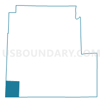
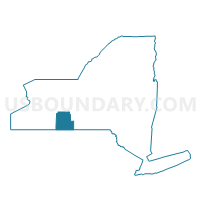
Voting District 320001, Steuben County, New York
About
Outline

Summary
| Unique Area Identifier | 636801 |
| Name | Voting District 320001 |
| County | Steuben County |
| State | New York |
| Area (square miles) | 41.05 |
| Land Area (square miles) | 40.90 |
| Water Area (square miles) | 0.15 |
| % of Land Area | 99.64 |
| % of Water Area | 0.36 |
| Latitude of the Internal Point | 42.04442860 |
| Longtitude of the Internal Point | -77.68788280 |
Maps

Graphs
Select a template below for downloading or customizing gragh for Voting District 320001, Steuben County, New York


Neighbors
Neighoring Voting District (by Name) Neighboring Voting District on the Map
- Voting District 060001, Allegany County, NY
- Voting District 150001, Steuben County, NY
- Voting District 210001, Allegany County, NY
- Voting District 270001, Steuben County, NY
- BINGHAM TWP Voting District, Potter County, PA
- HARRISON TWP Voting District, Potter County, PA
Top 10 Neighboring County Subdivision (by Population) Neighboring County Subdivision on the Map
- Andover town, Allegany County, NY (1,830)
- Troupsburg town, Steuben County, NY (1,291)
- Independence town, Allegany County, NY (1,167)
- Harrison township, Potter County, PA (1,037)
- Greenwood town, Steuben County, NY (801)
- Bingham township, Potter County, PA (684)
- West Union town, Steuben County, NY (312)
Top 10 Neighboring Unified School District (by Population) Neighboring Unified School District on the Map
- Canisteo-Greenwood Central School District, NY (5,884)
- Northern Potter School District, PA (4,184)
- Jasper-Troupsburg Central School District, NY (3,415)
- Andover Central School District, NY (2,196)
- Whitesville Central School District, NY (1,125)
Top 10 Neighboring State Legislative District Lower Chamber (by Population) Neighboring State Legislative District Lower Chamber on the Map
- Assembly District 136, NY (124,338)
- Assembly District 149, NY (121,064)
- State House District 67, PA (56,066)
Top 10 Neighboring State Legislative District Upper Chamber (by Population) Neighboring State Legislative District Upper Chamber on the Map
- State Senate District 53, NY (295,046)
- State Senate District 57, NY (285,036)
- State Senate District 25, PA (233,497)
Top 10 Neighboring 111th Congressional District (by Population) Neighboring 111th Congressional District on the Map
Top 10 Neighboring Census Tract (by Population) Neighboring Census Tract on the Map
- Census Tract 9501, Potter County, PA (4,584)
- Census Tract 9620, Steuben County, NY (4,437)
- Census Tract 9509, Allegany County, NY (3,938)
- Census Tract 9510, Allegany County, NY (3,249)
Top 10 Neighboring 5-Digit ZIP Code Tabulation Area (by Population) Neighboring 5-Digit ZIP Code Tabulation Area on the Map
- 16950, PA (3,378)
- 14806, NY (2,269)
- 14897, NY (980)
- 14885, NY (873)
- 14839, NY (793)
- 16927, PA (651)
- 14877, NY (401)
- 16937, PA (172)
- 16941, PA (69)